
Featured image: Map of Northern Somalia.
(JRC, European Commission, CC BY 4.0 https://creativecommons.org/licenses/by/4.0, via Wikimedia Commons.)
Northern Somalia includes The Republic of Somaliland, which has been independent from The Federal Republic of Somalia since 1991, and the Puntland State of Somalia (Bari and Nugaal Regions), an autonomous territory since 1998. In contrast to the rest of Somalia, it has a more diverse topography, with highlands up to 6,000 to 8,000 ft in elevation, but also extensive areas of rangelands with under 100 mm annual rainfall.

Daallo Mountain, Erigavo, Sanaag Region.
Abukar Musa (C.C.A-A 4.0 International License)
Drought-afflicted Habasweyne Village, 25 km south of Hargeisa.
UNSOM / Flickr, 2017

Publications relevant to the rangelands of Northern Somalia date as far back as 1912. Unfortunately, this list does not include all of them.
Digital downloads for the following reports are available at the end of the page. In addition, we have summaries of 27 additional reports for which we do not have the full text of the reports.
Citations
(See next page for report downloads)
Catley, A. 1996. Pastoralists, paravets and privatizations: Experiences in the Sanaag Region of Somaliland. DDI Pastoral Development Network Paper 39d. 13 pp.
de Fabregues, B.F. & G. Forgiarini. 1989. Preliminary survey of a project of grazing lands monitoring in the Bari area (Somalia). Institut D’elevage et de Medicine Veterinaire Des Pays Tropicaux. Maisons – Alfort, France. 146 pp + color map.
Hemming, C.F. 1973. An ecological classification of the vegetation of the Bosaso Region. Survey of the northern regions, Somali Democratic Republic. FAO, Rome. 1973.
Le Houerou, H.N. 1972. Report on improvements of the rangelands and related problems in northern Somalia. Survey of Northern Rangelands, Somali Democratic Republic. FAO, Rome. 18pp.
Mainwaring, HG 1920 A soldier’s shikar trips. Grant Richards, London, 213p. 5. (Note: This book about hunting is of historic interest. Peter Kuchar, who provided a digitized copy, found the guns and provisions lists hilarious.)
Naylor. J.N. 1977. Rangeland conservation and development: Somalia. Range Management (North). Food & Agriculture Organization of the United Nations (FAO). Mogadiscio, Somalia. 20pp.
Somalia-Fund-In-Trust. 1986. Technical assistance to the Northern Rangeland Development Project, Somalia: Project findings and recommendations. AG:UTFN/Som/022/Som. Terminal report. FAO, Rome. 24 pp.
Tas, M. 1985. Northern Rangeland Development Project. UTFN/Som/022. Final report. 13 pp.
Watson, R.M. 1986 b. The Northern Rangelands of Somalia: What should be the next steps?” Resource Management and Research (RMR), Mogadishu. 22pp.
Watson, R.M. (late 1970’s?) Somali Democratic Republic Northern Rangelands Survey. Vol. I Part 1 / 2. 118 pages + 32 maps
Jon Herlocker provided invaluable technical, editorial, and financial assistance.
Notify me if there are any copyright problems.
Report Downloads
Catley – Pastoralists, Paravets and Privitization Experiences in the Sanaag Region of Somaliland
de Fabregues – Etude Preliminaire Dun Projet de Suivi Des Paturages
de Fabregues – Map – Ensembles Pastoraux De La Zone Test (Bardho)
Hemming – An Ecological Classification of the Vegetation of the Bosaso Region
Le Houérou – Survey of Northern Rangelands – Somalia
Mainwaring – A Soldiers Shikar Trips
Naylor – Rangeland Conservation and Development Somalia
Somalia Funds-in-Trust – Project Findings and Recommendations
Tas – Food and Agriculture Organization of the United Nations
Watson – Northern Rangelands of Somalia – What Should be the Next Steps
Watson – Somali Democratic Republic – Northern Rangelands Survey Volume 1 Part 1 of 2
Watson – Somali Democratic Republic – Northern Rangelands Survey – Figure 1.12
Watson – Somali Democratic Republic – Northern Rangelands Survey – Figure 1.13
Watson – Somali Democratic Republic – Northern Rangelands Survey – Figure 1.14
Watson – Somali Democratic Republic – Northern Rangelands Survey – Figure 1.17
Watson – Somali Democratic Republic – Northern Rangelands Survey – Figure 1.18
Watson – Somali Democratic Republic – Northern Rangelands Survey – Figure 1.20
Watson – Somali Democratic Republic – Northern Rangelands Survey – Figure 1.21
Watson – Somali Democratic Republic – Northern Rangelands Survey – Figure 1.22
Watson – Somali Democratic Republic – Northern Rangelands Survey – Figure 1.23
Watson – Somali Democratic Republic – Northern Rangelands Survey – Figure 1.24
Watson – Somali Democratic Republic – Northern Rangelands Survey – Figure 1.25
Watson – Somali Democratic Republic – Northern Rangelands Survey – Figure 1.26
Watson – Somali Democratic Republic – Northern Rangelands Survey – Figure 1.28
Watson – Somali Democratic Republic – Northern Rangelands Survey – Figure 1.29
Watson – Somali Democratic Republic – Northern Rangelands Survey – Figure 1.30
Watson – Somali Democratic Republic – Northern Rangelands Survey – Figure 1.31
Watson – Somali Democratic Republic – Northern Rangelands Survey – Figure 1.32
Watson – Somali Democratic Republic – Northern Rangelands Survey – Figure 1.33
Watson – Somali Democratic Republic – Northern Rangelands Survey – Figure 1.35
Watson – Somali Democratic Republic – Northern Rangelands Survey – Figure 1.36
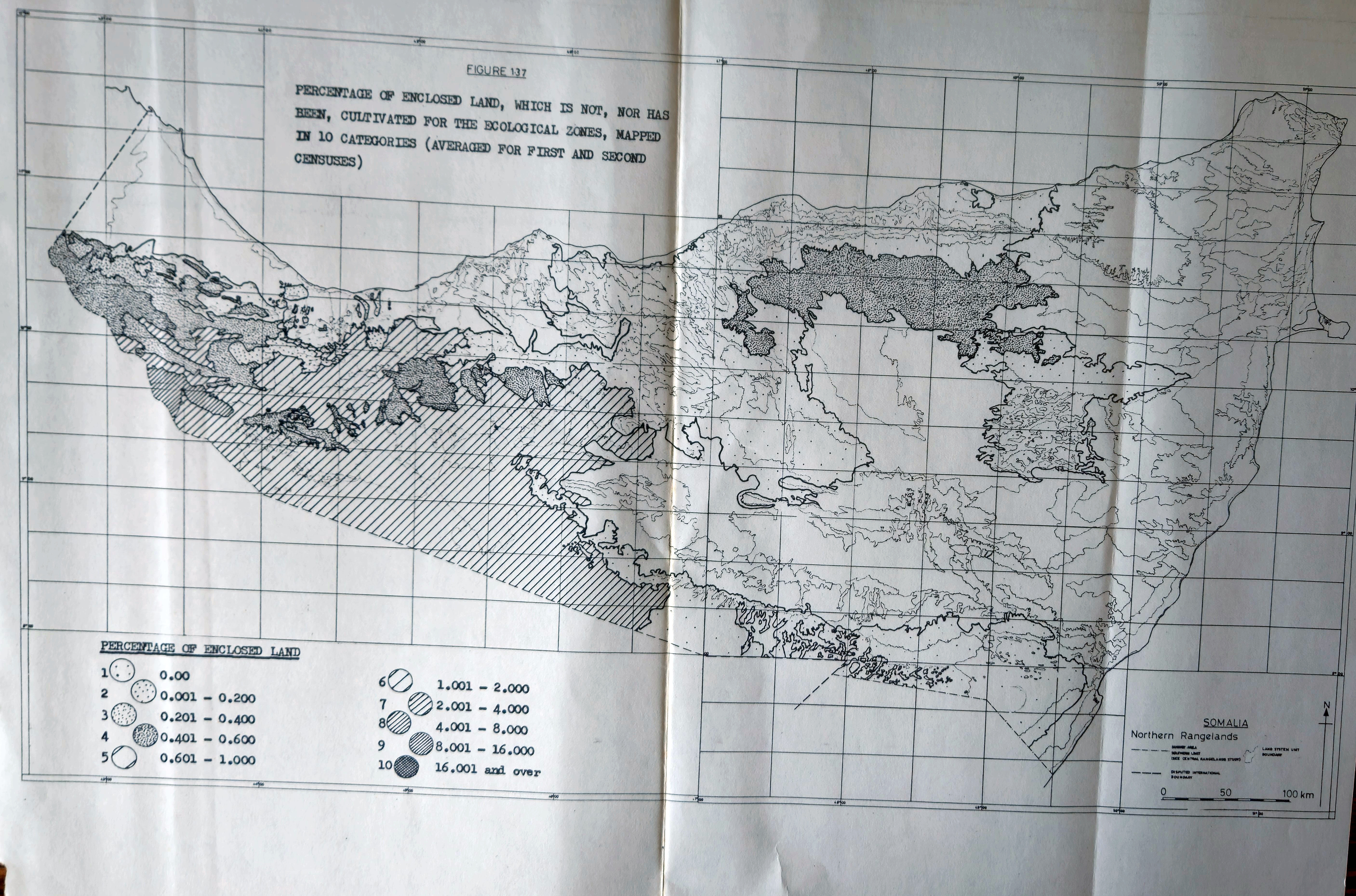
Watson – Somali Democratic Republic – Northern Rangelands Survey – Figure 1.37
Watson – Somali Democratic Republic – Northern Rangelands Survey – Figure 1.38
Watson – Somali Democratic Republic – Northern Rangelands Survey – Figure 1.39
Watson – Somali Democratic Republic – Northern Rangelands Survey – Figure 1.41
Watson – Somali Democratic Republic – Northern Rangelands Survey – Figure 1.42
Watson – Somali Democratic Republic – Northern Rangelands Survey – Figure 1.43
Watson – Somali Democratic Republic – Northern Rangelands Survey – Figure 1.45
Watson – Somali Democratic Republic – Northern Rangelands Survey -Figure 1-37